Seattle weather: Late summer heat this weekend
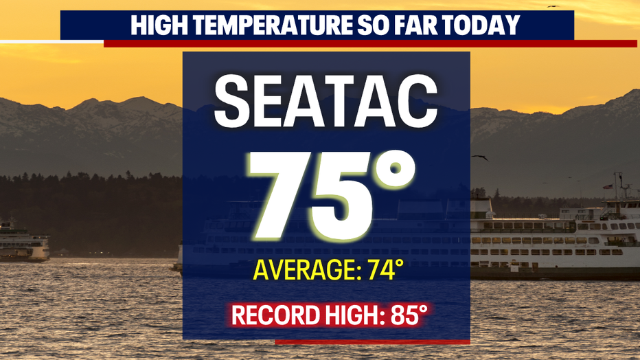
SEATTLE - Happy weekend all! Highs on Friday were near average for many communities. Sea-Tac hit 75 at the airport.
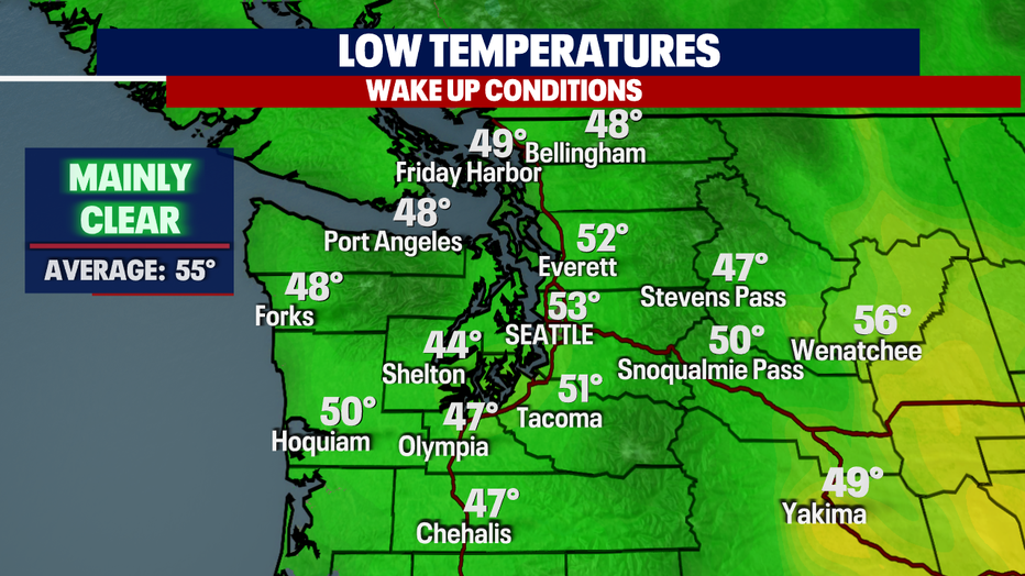
Overnight, skies are clear with temperatures cooling into the mid to upper 40s for the southwest interior with low to mid-50s for the Central and North Sound.
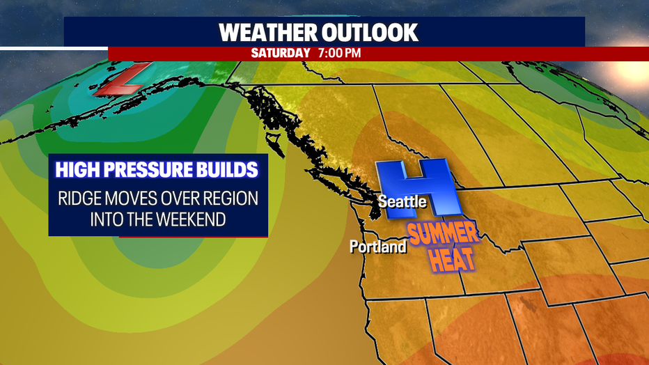
High pressure will hang over the PNW through Sunday before sliding off to the southeast over the Rockies. With a ridge in place over the region, highs will soar well above average (74) into the upper 70s to low 80s.
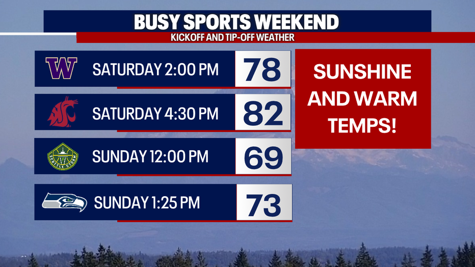
We have a busy sports weekend on tap for you across the state.
And If you're a Husky or Seahawks fan cheering your teams on from Husky Stadium Saturday or Lumen Field Sunday, please make sure to use sunscreen as burn rates are elevated with our late summer spike in temps.
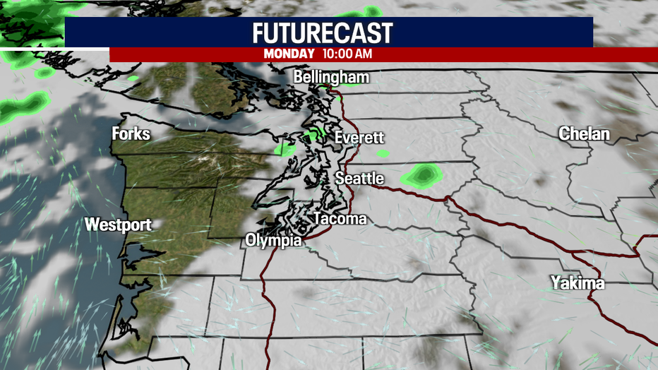
Late Sunday into early Monday, conditions will change as clouds develop which will lead to cooler highs. Some areas, like the Coast and Olympics, could see light showers, but for the most part, inland areas will stay mainly dry.

By Wednesday, another ridge starts to build into Western WA leaving us with fewer clouds and highs in the mid 70s. Enjoy!
Have a super weekend all! ~Erin Mayovsky, FOX 13 Forecaster

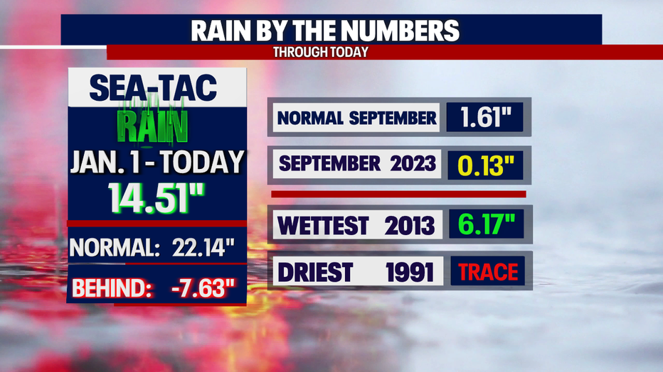
*SeaTac Rain Almanac
*Coast Forecast

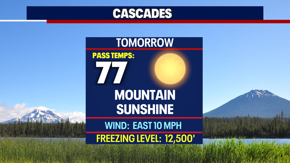
*Mountain Forecast
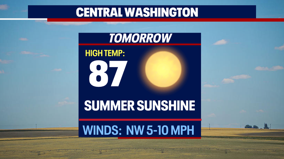
*Central WA Forecast