

Cooling down, with possible scattered showers
SEATTLE -- Today begins a different weather trend for the next several days. We will leave the 80s behind and nestle back into the 70s for daytime highs with rain chances slipping into the forecast.
First things first.
Yesterday marked 31 days this year with highs in the 80s. So far, we’ve only had one day hit the 90s this year. But compared to last year, we only had 12 days in the 80s and four hit 90s. 2013 will go down as one of the best summers in Seattle’s history (if you like warmer temps, of course)!
What’s next?
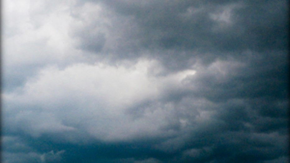
A disturbance heading our way will push some additional clouds and instability through the area. This will give partly to mostly cloudy skies this weekend and chances for scattered showers on the coast and mountains tonight, spreading across Puget Sound tomorrow. Sun breaks and a slight clearing will take place by tomorrow afternoon before more clouds push into Western Washington.
Puget Sound picks up on widespread rain chances again starting on Monday. Temperatures will hold in the low to mid-70s for the extended period.