

Summer still sizzling, relief later this week
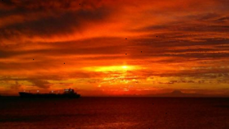
Sunrise over the Strait of Juan de Fuca with a ship in the distance. Viewer pic from Jesse in Port Angeles.
SEATTLE -- Mild and a bit muggy as you start out your Monday. We had a hot and steamy weekend and leftovers of the pop up thunderstorms across Western Washington mean a few isolated showers around the Puget Sound this morning, but not much longer than 8 a.m. That unstable airmass centered over the San Juan Islands is going to move east across the Cascades by the afternoon.
TODAY gradual clearing for the Puget Sound and Willamette Valley. The unstable air and the very hot weather in Central WA could fire off some more storms and new wildfires in Central and Eastern WA. Highs for the Puget Sound will be 80-85. East of the Cascades even hotter as some areas will hit triple digit heat again.
TOMORROW looks sunny and hot. Expect to see high temps again pushing towards 90. This will be the 10th day of 80+ temps for SeaTac and will tie the 2009 warm streak. The 2009 warm streak, which topped out at our hottest temperature ever recorded at SeaTac (103) was the longest warm streak of the last 14 years.
THE REST OF THE WEEK still looks pretty hot. WEDNESDAY we should also be in the upper 80s, making it the 11th day in our warm streak. THURSDAY a touch cooler near 80, thanks to a few more morning clouds. FRIDAY has clouds to sun with highs finally back at normal which is 76 for SeaTac. THE WEEKEND looks quite nice. High temps in the 75-80 range with morning clouds and nice summer sun in the afternoon.
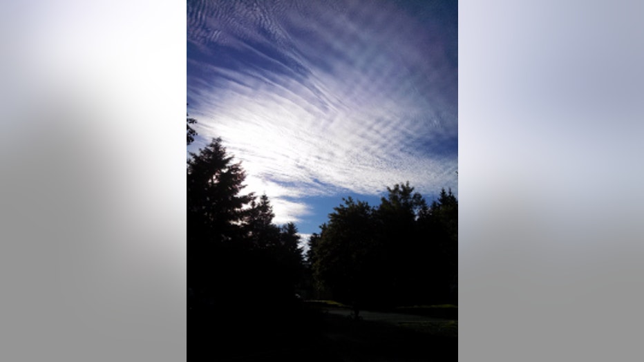
Sun filtered by beautiful high clouds. Viewer pic from Rebecca in Lake Stevens.