

Summer sunshine and warmer forecast
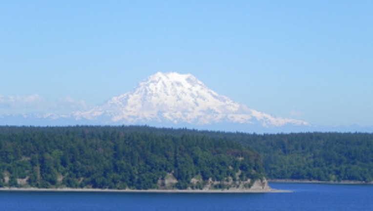
Washington's tallest peak under blue summer skies. The mountains will be out over the next several days. Viewer pic from Robert on Anderson Island.
Our gorgeous streak of summery weather continues here in the beautiful Pacific Northwest. Today starting out with very clear skies with only a few spots seeing morning fog. Sunny skies and warm temps this afternoon.
TODAY expect sunny skies and temps in the upper 80s for the South Sound near Tacoma/Olympia down towards Portland and mid 80s for Seattle and Central Puget Sound. Winds pretty light about 5-10 mph from the N/NW today.
TOMORROW we'll see some additional morning clouds and the marine layer will act as nature's air conditioning to keep our temps in the upper 70s. Normal for this time of year is about 74 for Seattle and 79 for Olympia.
THE REST OF THE WEEK looks warm and mostly dry. THURSDAY has brief morning clouds and afternoon sunshine. FRIDAY looks to warm up into the 80s around Seattle and 90s for Portland. SATURDAY and SUNDAY looks to have some heat and muggy conditions. Pop-up thunderstorms are likely east of the Cascades this weekend in the Southern WA Casacdes, Oregon Cascades, plus the Blue & Wallowa Mountains in NE Oregon if you're travelling. Some of these storms might migrate out of the Cascades into the I-5 corridor.
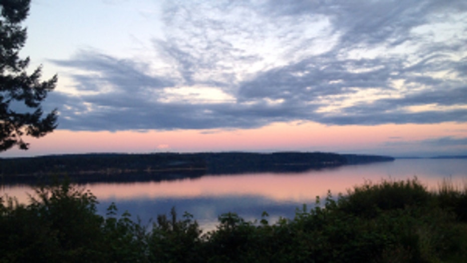
Sunrise over the Puget Sound. Viewer pic from Dan & Lisa on Harstine Island.