

Summer sizzles, then beautiful for the 4th
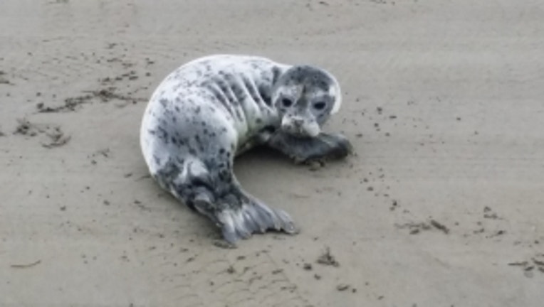
Seal pup on the beach. Viewer pic from Steve in Long Beach.
Summer is going to start to sizzle for a bit here in the region. While it will be warm-- and likely the warmest we've seen so far this year-- though I don't think any records will fall. We'll see a nice cool down for the weekend-- and in very un-Northwest-like fashion at this point our holiday weekend looks quite dry.
TODAY we're going to see temperatures spike about ten degrees compared to yesterday. Some fog and clouds to beautiful summer sunshine. Close to 80 for many areas in the Puget Sound, we'll be close to 90 for SW Washington towards Portland.
TOMORROW should be the peak of our summer sizzle. I'm forecasting 86 for Seattle. The record to beat is 89. The warmest day so far this year was the 85 degrees we hit at SeaTac Int'l Airport back on May 1st .
THE REST OF THE WEEK looks great. We'll cool off to around 80 degrees on WEDNESDAY.A bit more cool marine air will act as nature's air conditioning to keep our afternoon temperatures through the holiday weekend in the low 70s. THURSDAY looks to have morning clouds and afternoon sunshine. INDEPENDENCE DAY looks to have morning clouds and nice afternoon sunshine. Overnight lows will be in the 50s. This weather pattern of clouds to sun looks to last through the holiday weekend.
HOLIDAY TRAVEL FORECAST looks great. There's really no rain in sight for Washington, Oregon or Idaho if you're travelling the weather looks pretty great so no flight delays that are NW related. Watch out if you're camping or hiking Tuesday & Wednesday for some possible pop up afternoon t-storms in the mountains.
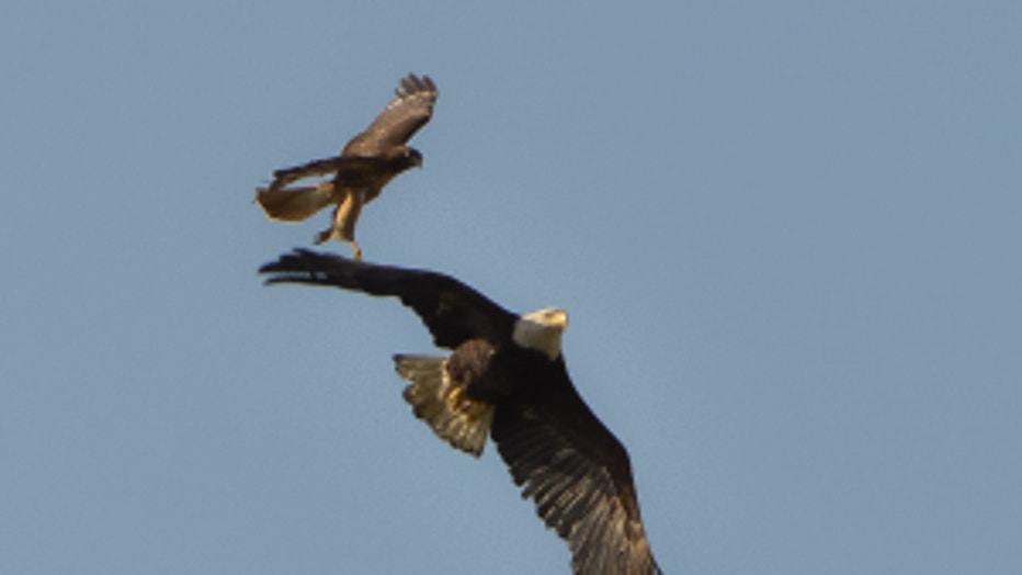
Hawk versus eagle. Viewer pic from Jake in Island Crossing near Arlington