

Clouds and rain moving back into the forecast
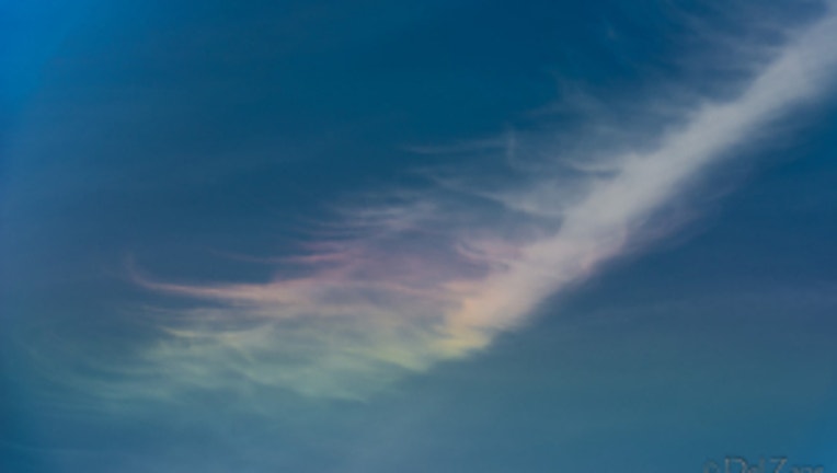
Circumhorizontal arc. Viewer pic from Del in Anacortes
The day is starting beautiful across much of the Pacific Northwest-- but it will not end up that way. A system of low pressure off the Oregon coast will move inland later today bringing some rain showers at times later today, into tonight and even tomorrow for some parts of the region.
TODAY we're going to see rain moving from south to north up the I-5 corridor. By noon the rain showers should be as far north as Portland, Olympia by about 3pm and into Seatte after dinner time. High temps 70-75 for today west of the Cascades. Tonight everyone seems some overnight rain seems likely for just about everyone in Western WA.
TOMORROW we'll see some showers at times for most of the region-- most of the showers should be in the morning. High temps a bit cooler around 70 degrees.
THE WEEKEND still has some rain. FRIDAY we'll see a cold front move through in the morning delivering the wettest day of the week. The morning rain tapers off into more scattered showers by the afternoon. Some of those showers last into SATURDAY as well. SUNDAY has a chance of showers. High temps for the weekend will be a bit cooler than the normal of 72. We'll likely see it around 65-70.
NEXT WEEK looks like we'll be drying out and warming up. Back to summer sunshine and warmer temperatures too. By the middle of the week we could be in the mid 80s for Portland and upper 70s around Seattle/Puget Sound.
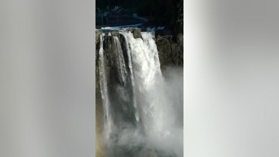
Snoqualmie Falls. Viewer pic from Jerry in Tacoma.