

What is all this rain doing in June?
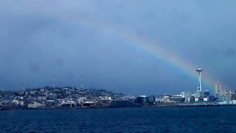
Rainbow over the Space Needle. From Julia coming in from Kitsap County on the Bremerton Ferry.
SEATTLE -- Well, it certainly doesn't feel like the week leading up to the summer solstice-- but the calendar says otherwise. Our unseasonably cool weather stays with us for another day and a half before we ramp up our temperatures and dry things out.
TODAY we'll have scattered showers, lots of clouds and slight chance of an afternoon/evening t-storm. High temps 60-65 west of the Cascades. That's about ten degrees cooler than normal for this afternoon. There's also a slight chance for an afternoon or evening thunderstorm in Western Washington. Some of these t-storms will contain small hail, gusty winds, strong downpours and of course the dangerous lightning. Tonight has periods of rain with overnight lows near 50.
TOMORROW a few morning showers look likely. Gradual clearing with afternoon high temps in the mid 60s.
THE REST OF THE WEEK actually looks pretty nice. We'll see temps getting into the 70s and for SW Washington down towards Portland will climb near 80 a few times. There's a slight chance of a shower or two Thursday night into Friday. Next weekend looks dry and pleasant.