

It already feels like summer in Seattle! (FORECAST)
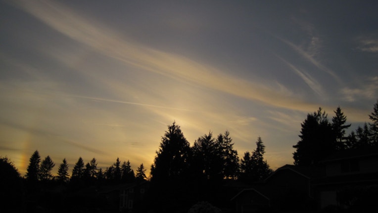
Sunset with faint halo. Viewer pic from Kelly in University Place
If you liked the weekend, you'll love the week ahead. Some areas have brief morning clouds, but everyone gets nice afternoon sunshine. High pressure keeps the rain away for the foreseeable future, but just the right amount of on-shore flow off the cool Pacific keeps our temperatures from skyrocketing. It's the perfect amount of nature's air conditioning that keeps our afternoon temps mostly around 70-75 which is just above seasonal average for early June.
TODAY brief clouds to afternoon sunshine. Slight chance of an afternoon t-storm in the Cascades. Highs around 75 for Seattle/Puget Sound, closer to 80 as you get into SW Washington near Centralia/Chehalis towards Portland.
TOMORROW a touch cooler. Highs around upper 60s for Seattle, mid 70s for SW Washington/Portland.
THE REST OF THE WEEK feeling like summer as well. Brief clouds to gorgeous sunshine every day this week. A few mornings on the coast could have some drizzle. Some of the computer forecast models are trying to put some showers in the late Sunday forecast, but the next real rain looks like it's more than a week away. If you were wondering, the driest June on record in Seattle had 0.13" of rain back in 1951.
After the record-setting rain we experienced in March, April and May-- this dry streak is a welcome change of pace. Enjoy!
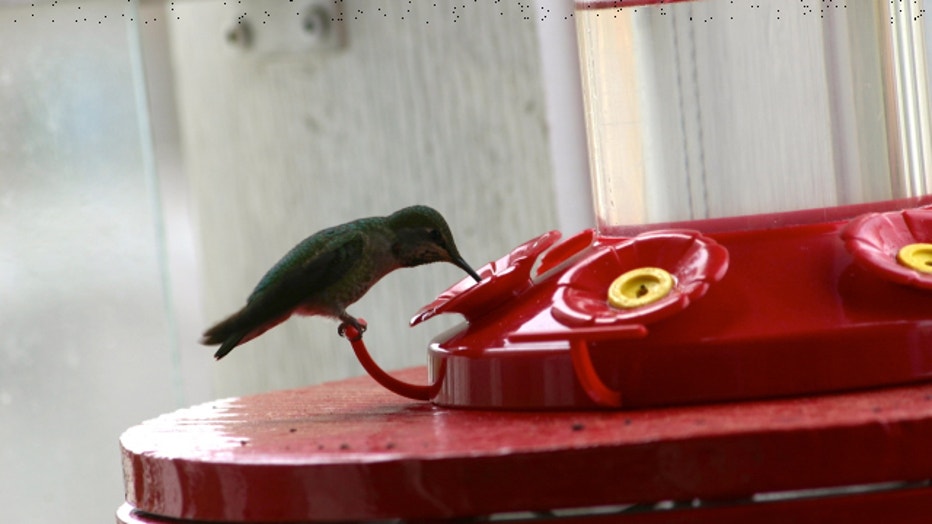
Feeding hummingbird. Viewer pic from Gwinn in Edmonds