

Warmer, drier weekend ahead
Sunny skies making a comeback this weekend.
Showers north of Seattle and some steady light rain in the Cascade Foothills-- but south of Seattle we've seen just some cloudy skies around the region. That means Seattle's official dry streak continues at SeaTac as of this writing at 35+ days-- as we go into a drier, warmer weekend forecast.
Gradually clearing skies will begin south to north today west of the Cascades-- so the Willamette Valley and Portland will see the sunshine first and also the warmer temperatures. Highs today: 65-70 Seattle/Puget Sound, Coast areas 60-70, High Desert 70-80.
East of the Cascades we're seeing much cooler temperatures, higher humidity levels and beneficial rainfall-- so all good signs when it comes to putting out the wildfires in that part of the Evergreen State. The only problems with the wildfires has been the strong NW winds in that part of the state.
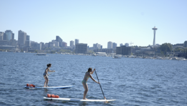
The weekend has us drying out and getting sunnier each successive day. Morning clouds for much of the region on the I-5 corridor and nice Saturday afternoon clearing. Even sunnier for Sunday, with temps in many spots from Bellingham down to Eugene getting into the 80s. Next week, continued dry and sunny. This little downturn over the last few days does not mean summer is over. A typical Seattle summer has 3 days at or above 90 degrees. While we've only seen one so far (93 was the hottest so far this year at SeaTac) we still have lots of the summer left to go. Bring on August-- and if you're headed to Seafair, don't forget your sunglasses and sunscreen. Enjoy!